
OS Explorer OL17 map for Snowdon
Route support for Snowdon and surrounding paths.
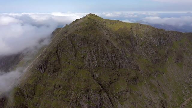
Snowdon, Yr Wyddfa in Welsh, is the highest mountain in Wales, standing 1085 metres high. It is located in Eryri (Snowdonia) National Park in North Wales. Snowdon has many varied routes to the summit.
Height
1,085m (3,560ft)
Wales's highest
Grid Reference
SH 609 543
Ascent Time
2.5 - 4 hours
Round Trip
13km (8 miles)
While Snowdon has many paths with varying difficulty, most Three Peaks Challengers will follow either the Pyg Track or Miners Track, leaving from the Pen-y-Pass car park, on the A4086. While this car park can be full at weekends, further parking is available either to the East, at Pen-y-Gwryd, or to the West at Nant Perris. Shuttle buses run every half hour or so during busy times, between all three car parks.
Both the PYG track and Miners track are marked on the OS Explorer OL17 Map (at the Three Peaks Shop).
In 2022, Eryri (Snowdonia) National Park voted to use the Welsh name for the mountain, Yr Wyddfa.
The postcode for the Pen y Pass car park at Snowdon is LL55 4NY - parking here needs to be pre-booked via JustPark, costing from £18 for 8 hours. More parking options →
On Saturdays from Easter Saturday to the end of October, the S6 Bws Gwennol SHERPA Shuttle Bus operates regularly between Bangor, Bethesda, Llyn Ogwen and Pen y Pass.
Starting from the Pen-y-Pass car park, the Pyg Track leaves from the higher level area of the car park. Beginning briefly as a tarmac path, it is mostly rocky with steps towards the top. A large upright stone half an hour from the top marks the join of the Miners Track. A second marker stone below the final ascent points you towards the summit.
The Pyg track includes a distance of 7 miles, 11km, up and down, and an ascent of 723 metres, and is shown below in blue.
The straightforward Llanberis path is shown above in red. This is quite a direct route from the town to the north of Snowdon, and we use this to descend the mountain on our Guided events. The Pyg Track starts higher so the Llanberis path requires more ascent.
The Miners Track also begins from Pen-y-Pass, but leaves from the opposite side of the car park. The Miners Track is largely smooth, as it winds around Llyn Teyrn, Llyn Llydaw and Glaslyn - the three lakes leading to the peak of Snowdon. The Miners Track then ascends quickly, to join the Pyg Track, and continue to the peak of Snowdon. When descending, the Miners Track intersection with the Pyg Track is marked by a large standing stone.
Also starting from the Pen y Pass car park, the Miner's Track also ascends 723 metres, and is 8 miles, 13km, up and down. All routes →

Download the GPX files for the Snowdon Pyg Track and the Snowdon Llanberis Path.
Route support for Snowdon and surrounding paths.