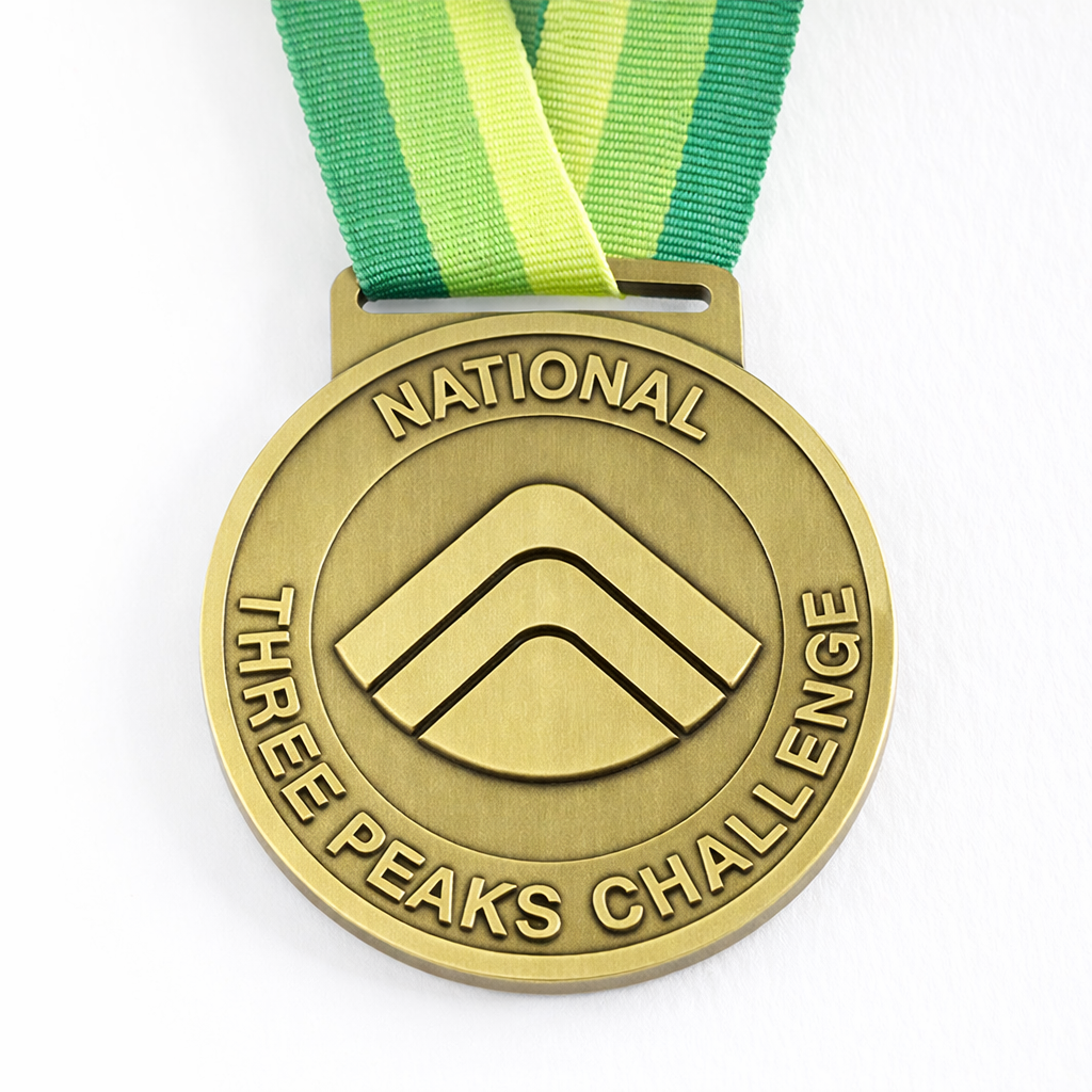

National Three Peaks Challenge Medal
Official National Three Peaks medal from the Three Peaks Shop.
Buy medalPlan a self-organised National Three Peaks attempt with clear logistics, timing and safety guidance.
The National Three Peaks Challenge covers the highest mountains in Scotland, England and Wales within 24 hours. Thousands of groups take on the challenge each year, either independently or as part of a guided event.
Use this page to organise route order, driving support, preparation and backup plans.
Our Guided National Three Peaks includes professional mountain leaders, all transport between peaks, checkpoints and safety cover from £450pp.
View Guided DatesWe recommend a group of 4–30 walkers. Smaller groups are harder to support safely; larger groups become unwieldy on the hills and at car parks.
If you have fewer than four walkers, consider joining one of our guided challenge dates where you can team up with other individuals and small groups.
This is critical. You need at least two dedicated drivers who will not be walking. After climbing Ben Nevis and Scafell Pike, your walkers will be exhausted - they must not drive.
If you can't recruit dedicated drivers, a guided challenge with professional drivers may be a better option.
The main season runs from May to September, when daylight hours are longest and conditions most favourable. Winter conditions can persist on Ben Nevis well into May - check forecasts carefully.
Most groups start in the early morning (4–6am) to maximise daylight on the hills.
Registering at threepeakschallenge.org.uk (£6pp) provides:
Total walking distance: 23 miles (37km). Total ascent: 3,064 metres.
1,345m - Scotland's highest peak
The Mountain Track from Glen Nevis is the standard route. Allow 4–5 hours return. Car park postcode: PH33 6PF.
978m - England's highest peak
Most groups use the Wasdale Head route - the shortest but steepest approach. Allow 3–4 hours return. Car park postcode: CA20 1EX.
1,085m - Wales' highest peak
The Llanberis Path or Pyg Track are most commonly used. Allow 3–4 hours return. Pen-y-Pass car park postcode: LL55 4NY.
Most groups start at Ben Nevis and head south - this puts the longest drive (Fort William to Wasdale) while the team is freshest.
Total driving distance: approximately 460 miles. Allow 10 hours of driving time between stops.
The largest practical vehicle is a 16-seater minibus. Larger coaches cannot navigate the narrow roads near Wasdale Head.
For larger groups, use multiple vehicles or consider a private guided event where we handle all transport.
It's possible to reach Fort William by train, including the Caledonian Sleeper from London. Reaching Wasdale and Snowdon by public transport is more difficult and time-consuming.
EV charging is available along the route, though planning is essential - particularly in the Lake District and Eryri (Snowdonia) where chargers are limited.
The challenge is demanding - 23 miles of mountain walking with over 3,000m of ascent, plus the fatigue of travelling between peaks.
We recommend at least 8–12 weeks of progressive training, including practice walks with full kit and some night walking if you'll be on the hills after dark.
Essential kit includes:
You'll need Ordnance Survey maps:
The routes are well-travelled in good weather, but in cloud, rain or darkness you must be able to navigate by map and compass.
Plan your nutrition carefully. Service station food is expensive and won't fuel you well. Prepare:
Depending on your schedule, you may need accommodation before your start (Fort William area) or after you finish (Eryri (Snowdonia) or en route home).
Book well in advance - accommodation near the mountains is limited and popular weekends sell out months ahead.
The Three Peaks Challenge has faced criticism for its environmental impact and safety record. Please follow the Three Peaks Code of Practice:
Organising your own challenge requires significant planning, reliable drivers, navigation skills and mountain experience. If any of these feel uncertain, our guided events cover the operational side with professional mountain leaders, all transport, checkpoints with hot food, and full safety cover.