
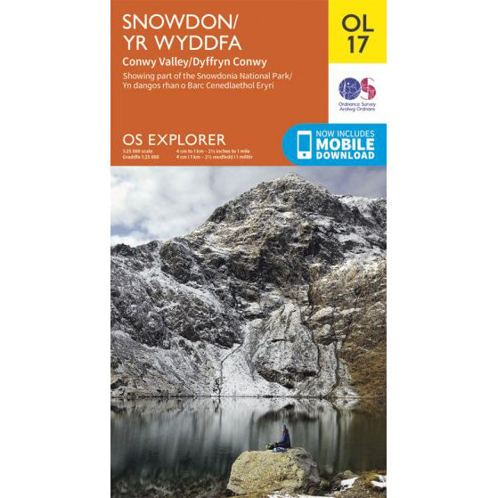

OS Explorer OL17 map for Snowdon
Essential map for Snowdon paths and route planning.
Snowdon (Yr Wyddfa) has six main walking routes to the summit at 1,085 metres. The Pyg Track and Llanberis Path are the routes most commonly used for Three Peaks Challenges, both starting from the Pen-y-Pass area. Other routes offer different perspectives of Wales's highest mountain.
Two routes are typically used for National Three Peaks Challenge events. Both start from the Pen-y-Pass car park on the A4086 and are well-established paths to the summit.
| Distance | 7 miles (11km) round trip |
|---|---|
| Ascent | 723 metres |
| Time | 4-6 hours |
The most popular Three Peaks route, starting from the higher level of Pen-y-Pass car park.
View route details| Distance | 9 miles (14.5km) round trip |
|---|---|
| Ascent | 948 metres |
| Time | 5-7 hours |
A direct route from Llanberis, often used for descent on Guided events.
View route detailsThe summit of Snowdon features Hafod Eryri, the summit building operated by the Snowdon Mountain Railway. When open, it provides basic refreshments and shelter. The summit trig point is a short distance from the building.
In clear conditions, views from the summit extend across Eryri (Snowdonia) National Park to Anglesey, the Llyn Peninsula, and the Wicklow Mountains in Ireland.
Snowdon is typically the final peak on a National Three Peaks Challenge. Many groups arrive at Pen-y-Pass in the early morning, having driven overnight from Scafell Pike. The Pyg Track is the most popular choice for the ascent, with some groups descending via the Llanberis Path to Llanberis where transport meets them.
On Guided events, groups typically ascend via the Pyg Track and descend via the Llanberis Path to the town of Llanberis, where the support vehicle is waiting.
Snowdon has several other established routes to the summit. These are not typically used for Three Peaks Challenges but offer rewarding walks for those with more time.
Also starting from Pen-y-Pass, the Miners Track follows a gentler gradient initially, passing three lakes - Llyn Teyrn, Llyn Llydaw and Glaslyn - before a steep final ascent to join the Pyg Track near the summit. The lower section is relatively easy walking, but the upper section is steep and rocky. Distance: 8 miles (13km) round trip, 723 metres ascent.
Starting from Pont Bethania on the A498, the Watkin Path approaches from the south. It is the most challenging of the main routes, with a steep and loose upper section. Named after Sir Edward Watkin, the Victorian railway entrepreneur who built the path in 1892. Distance: 8 miles (13km) round trip, 1,015 metres ascent.
Starting from the Snowdon Ranger YHA on the A4085, this is the oldest route up Snowdon. It approaches from the west and offers a quieter alternative to the Pen-y-Pass routes. Distance: 8 miles (13km) round trip, 935 metres ascent.
Starting from the village of Rhyd Ddu on the A4085, this route approaches from the south-west. It is one of the quieter routes and follows a good path with views into Cwm Clogwyn. Distance: 7.5 miles (12km) round trip, 895 metres ascent.
Snowdon can be walked year-round, but conditions vary by season:
Three Peaks Challenges run primarily from April to October. Snowdon is often climbed in the early morning as the final peak of the challenge.
Essential map for Snowdon paths and route planning.