Whernside

Whernside is the highest of the Yorkshire Three Peaks and the highest point in the Yorkshire Dales, reaching 736 metres (2,415 feet). Its long, whale-backed ridge offers spectacular views of the iconic Ribblehead Viaduct and across to the Lake District fells.
On our organised walks, Whernside is our third and final summit, before returning to Chapel-le-Dale.
Height
736m (2,415ft)
Yorkshire's highest
Grid Reference
SD 738 814
Ascent Time
1.5 - 2 hours
Ridge Length
3km (2 miles)
The Name
The name Whernside derives from the Old Norse "quern", meaning a hand-mill for grinding grain, presumably referring to the millstone grit found on the summit. The "-side" element simply means slope or hill. The mountain has been known by this name for at least 800 years.
Geology
Like its neighbours Ingleborough and Pen-y-Ghent, Whernside displays the classic Yorkshire Dales geology:
- Carboniferous Limestone - Forms the lower slopes and valley floors, creating the characteristic white scars and cave systems
- Yoredale Series - The alternating bands of limestone, shale and sandstone that create stepped hillsides
- Millstone Grit - The dark, hard-wearing cap rock that forms the summit ridge, giving the mountain its characteristic long, flat profile
The area around Whernside contains numerous shake holes (collapsed cave features) and the famous Force Gill waterfall descends the western slopes. The limestone underneath is honeycomb with caves, including parts of the extensive Three Counties System.
The Ribblehead Viaduct
No visit to Whernside is complete without appreciating the Ribblehead Viaduct, one of the most photographed structures in northern England. Key facts:
- Built between 1870 and 1874 for the Settle-Carlisle Railway
- 24 arches spanning 400 metres at a height of 32 metres
- Over 100 workers died during construction, many from smallpox outbreaks in the shanty towns
- The viaduct was nearly demolished in the 1980s but was saved by a public campaign
- Trains still cross regularly - watching a locomotive traverse the arches against the backdrop of Whernside is a memorable sight
Routes to the Summit
From Ribblehead (Standard Route)
From Ribblehead, head left on to the B6255, and follow the path to the side of the viaduct, but not crossing underneath it. Continue North, crossing the railway, heading towards the peak of Whernside. The ascent is steady but relentless, following a well-made stone path through Force Gill before climbing to the ridge.
From Chapel-le-Dale
An alternative start from the Old Hill Inn at Chapel-le-Dale follows a quieter path up the western slopes. This joins the main ridge path near the summit and offers excellent views into Kingsdale.
From Dent
A longer approach from Dent station or Dent village ascends the eastern slopes. This quieter route passes through atmospheric farmland before joining the ridge path from the north.
Yorkshire Three Peaks Route
On the clockwise circuit from Horton, Whernside is typically the second peak, approached from Ribblehead after descending from Pen-y-Ghent. On our anti-clockwise route from Chapel-le-Dale, it's the final summit.
The Ridge Walk
Whernside's summit ridge is one of the most distinctive features of the Yorkshire Three Peaks. Key points:
- The ridge runs roughly north-south for about 3km
- A stone wall runs along much of the ridge, useful for navigation in poor visibility
- The path is well-defined but can be boggy in places
- Views from the ridge extend to the Lake District, Morecambe Bay, the Howgill Fells, and across to Ingleborough and Pen-y-Ghent
- The ridge can be very exposed to westerly winds
What to Expect on the Summit
The summit of Whernside features:
- A triangulation pillar (trig point) marking Yorkshire's highest point
- A stone wall running past the summit
- Panoramic 360-degree views in clear conditions
- The long ridge falling away to north and south
The summit is exposed and often windy. As Yorkshire's highest point, temperatures can be 6-8°C cooler than the valleys, with significant wind chill. Snow can linger here into April or May in some years.
Descent to Chapel-le-Dale
To head towards Ingleborough, continue along the ridge heading south, before descending towards the B6255 and the Old Hill Inn. This descent offers excellent views of Ingleborough's distinctive profile ahead.
Parking
Parking options for Whernside:
- Ribblehead - Car park near the Station Inn (pay and display). The most popular starting point with direct views of the viaduct.
- Chapel-le-Dale - Limited roadside parking near the Old Hill Inn (use the pub if buying food/drinks).
- Dent Station - Small car park at England's highest mainline station. Access the eastern approach from here.
Facilities
- The Station Inn (Ribblehead) - Traditional pub with food, real ales and accommodation. Excellent views of the viaduct from the beer garden.
- The Old Hill Inn (Chapel-le-Dale) - Historic inn with food, drinks and B&B accommodation.
- Dent - The village of Dent (a few miles east) has pubs, a cafe and shops.
- Public Toilets - Available at Ribblehead car park (seasonal) and in Ingleton.
Wildlife and Nature
The varied terrain around Whernside supports upland wildlife:
- Birds - Skylarks, meadow pipits, and curlews are common on the moorland. Ravens patrol the ridges, and red grouse may be flushed from the heather.
- Moorland Plants - Heather, bilberry, and cloudberry grow on the upper slopes. Cotton grass brightens the boggy areas in summer.
- Force Gill - The waterfall and gill support ferns, mosses and liverworts in the sheltered conditions.
Safety Considerations
- The ascent is long and steady - pace yourself, especially in warm weather
- The ridge is very exposed to westerly winds - carry windproof layers
- The stone path can be slippery when wet or icy
- Navigation in mist is aided by the wall along the ridge, but a map and compass are still essential
- The crossing of the railway requires care - always look both ways
- Mobile phone signal is unreliable on much of the mountain
- Weather can change rapidly - always check the forecast and be prepared for the worst
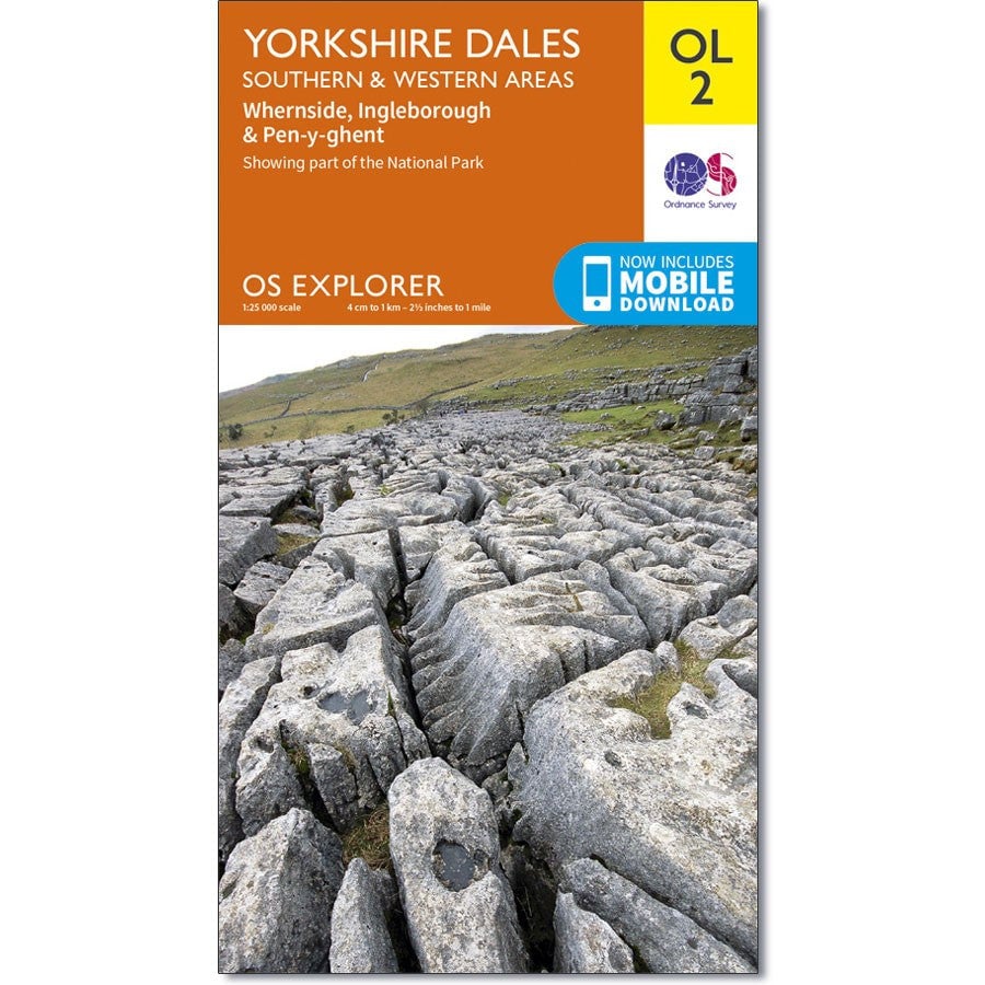
The path on Whernside is clearly marked on the OS Explorer OL2 Yorkshire Dales (Southern and Western Areas) map (at the Three Peaks Shop).
Ready to Climb Whernside?
Join one of our fully-supported guided Yorkshire Three Peaks events with experienced mountain leaders.
View Yorkshire Three Peaks DatesWhernside Route Map
For Yorkshire maps, patches, badges and medals, please see The Three Peaks Shop.
