
Three Peaks Challenge Ltd logo
Book Contact
Book
Login / Manage
  • Overview
  • Yorkshire Three Peaks Challenge 2026
  • Yorkshire Three Peaks Challenge 2027
  • Organised Challenges
    • Guided Yorkshire Three Peaks Challenge
    • Private Yorkshire Three Peaks Challenge
    • Kit List
    • Frequently Asked Questions
    • Photos
  • Mountains & Routes
    • Route
    • Pen-y-Ghent
    • Whernside
    • Ingleborough
  • Plan your own Challenge
    • Plan your own Yorkshire Three Peaks
    • Register your Yorkshire Three Peaks
    • Equipment
  • General Information
    • Accommodation
    • Training
    • How hard is the Yorkshire Three Peaks Challenge?
    • 10 Tips for the Yorkshire Three Peaks
    • History of the Yorkshire Three Peaks
    • Food & drink
    • Travel to Yorkshire
    • Tourist information
    • Three Peaks Shop
  • Related routes
    • Pennine Way
    • Ribble Way
    • A Pennine Journey
    • Dales High Way
    • Cleveland Way
    • Coast to Coast Walk
    • Calderdale Way
    • Nidderdale Way
    • Yorkshire Wolds Way
Three Peaks Challenge Ltd logo
Resources Search Photos Manage Your Booking Log in Create an account
Book your challenge
Contact us
[email protected]
Open mail app
Open contact form
Call 0330 2233 900

National Three Peaks Challenge

Ben Nevis, Scafell Pike, Snowdon

23 miles • 3064m ascent • 3 stages

Routes & Mountains

  • Ben Nevis
  • Scafell Pike
  • Snowdon / Yr Wyddfa
  • Driving route

Prepare

  • Kit list
  • Accommodation
  • Food & drink
  • Travel to Fort William

Information

  • FAQs
  • How hard is it?
  • Plan your own
  • Photos
Guided challenges Book your place 3 Peaks in 3 Days Private groups

Yorkshire Three Peaks Challenge

Ingleborough, Whernside, Pen-y-ghent

24 miles • 1585m ascent • continuous

Routes & Mountains

  • Walking route
  • Pen-y-ghent
  • Whernside
  • Ingleborough

Prepare

  • Kit list
  • Accommodation
  • Food & drink

Information

  • FAQs
  • How hard is it?
  • Plan your own
  • Photos
Guided challenges Book your place Private groups

Surrey Three Peaks Challenge

Box Hill, Holmbury Hill, Leith Hill

23 miles • 1060m ascent • continuous

Routes & Mountains

  • Walking route
  • Box Hill
  • Holmbury Hill
  • Leith Hill

Prepare

  • Kit list
  • Accommodation
  • Food & drink

Information

  • FAQs
  • How hard is it?
  • Plan your own
  • Photos
Guided challenges Book your place Private groups

Welsh Three Peaks Challenge

Snowdon, Cadair Idris, Pen y Fan

17 miles • 2334m ascent • 3 stages

Routes & Mountains

  • Snowdon / Yr Wyddfa
  • Cadair Idris
  • Pen y Fan
  • Driving route

Prepare

  • Kit list
  • Accommodation
  • Food & drink

Information

  • FAQs
  • How hard is it?
  • Plan your own
  • Photos
Guided challenges Book your place Private groups
Private events Fundraising events Charities Companies & Corporates Training guides Routes Photos Resources & policies Other challenges Shop
View all dates

Yorkshire Three Peaks Challenge Route

The Yorkshire Three Peaks Challenge is a 24-mile (38.6km) circular route with 1,585m of ascent, taking in the three highest peaks in the Yorkshire Dales: Pen-y-ghent, Whernside, and Ingleborough.

The Three Peaks

Pen-y-ghent

694m (2,277ft)

The smallest but steepest of the three, with a distinctive lion-shaped profile. The scramble near the summit is the most technical section of the entire route.

Whernside

736m (2,415ft)

The highest point in the Yorkshire Dales and the longest climb. The descent via the Ribblehead Viaduct is spectacular.

Ingleborough

723m (2,372ft)

A distinctive flat-topped summit with the remains of an Iron Age hill fort. Often the final peak, tackled when legs are tiring.

Yorkshire Three Peaks Challenge Start Points

There are three possible start points for the Yorkshire Three Peaks, and you can walk in either direction - clockwise or anti-clockwise.

The postcodes for these start points are:

  • Horton-in-Ribblesdale – BD24 0HE (lots of parking, £4 for the day, very busy at weekends)
  • Ribblehead – LA6 3AS (some free parking)
  • Chapel le Dale – LA6 3AR (limited free parking, usually quiet)

Yorkshire Three Peaks Route

Markers show the start/finish point and the two refreshment points on our Guided Yorkshire Three Peaks events.

Elevation profile of the Yorkshire Three Peaks route from Chapel le Dale

Loading elevation profile…
Elevation profile for the Yorkshire Three Peaks route from Chapel le Dale.

See the map in full screen.

Want an expert-led Yorkshire Three Peaks?

Join one of our guided events with experienced mountain leaders, full support, and all logistics handled for you.

£80 per person – dates available throughout 2026

View Upcoming Dates →

Yorkshire Three Peaks GPX Route Downloads

For GPS routes in the GPX format, please see below – routes are included for the three start locations. Right click and select 'Save As', and copy to your device.

Chapel le Dale Horton-in-Ribblesdale Ribblehead

Yorkshire Three Peaks Map

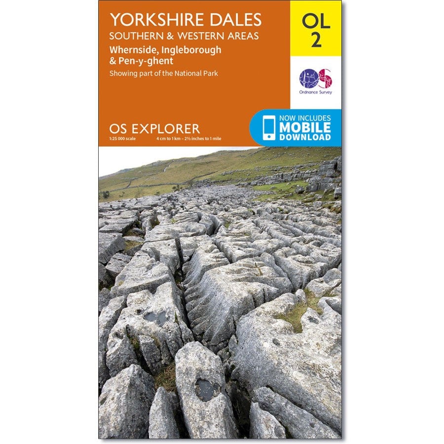
OS Explorer OL2, Yorkshire Dales

OS Explorer OL2 Yorkshire Three Peaks Challenge Map, Yorkshire Dales Map
15 in stock £13

OS Explorer OL2 Yorkshire Three Peaks Challenge Map, Yorkshire Dales Map

Buy from the Three Peaks Shop

For Yorkshire maps, patches, badges and medals, please see the Three Peaks Shop.

  • Overview
  • Yorkshire Three Peaks Challenge 2026
  • Yorkshire Three Peaks Challenge 2027
  • Organised Challenges
    • Guided Yorkshire Three Peaks Challenge
    • Private Yorkshire Three Peaks Challenge
    • Kit List
    • Frequently Asked Questions
    • Photos
  • Mountains & Routes
    • Route
    • Pen-y-Ghent
    • Whernside
    • Ingleborough
  • Plan your own Challenge
    • Plan your own Yorkshire Three Peaks
    • Register your Yorkshire Three Peaks
    • Equipment
  • General Information
    • Accommodation
    • Training
    • How hard is the Yorkshire Three Peaks Challenge?
    • 10 Tips for the Yorkshire Three Peaks
    • History of the Yorkshire Three Peaks
    • Food & drink
    • Travel to Yorkshire
    • Tourist information
    • Three Peaks Shop
  • Related routes
    • Pennine Way
    • Ribble Way
    • A Pennine Journey
    • Dales High Way
    • Cleveland Way
    • Coast to Coast Walk
    • Calderdale Way
    • Nidderdale Way
    • Yorkshire Wolds Way
We are Three Peaks Challenge
17 years experience
56,000+ participants
In-house transport & logistics
£2.3m+ raised for charity

Events

  • Dates & prices
  • National Three Peaks
  • Yorkshire Three Peaks
  • Welsh Three Peaks
  • Surrey Three Peaks
  • Private group bookings

Prepare

  • Choose your challenge
  • Training plans
  • Kit & equipment
  • Routes & maps
  • Food & nutrition
  • Three Peaks shop

Fundraising

  • Charity challenges
  • Fundraising for a charity
  • Fundraising targets
  • Team fundraising ideas
  • Gift Aid explained
  • Sponsorship forms

Charities

  • Charity partnerships
  • Private charity events
  • Promotion toolkit
  • Pricing & sponsorship
  • Charities FAQs
  • Charity partners

Companies

  • Company events
  • SME teams (8-30)
  • Large teams (50-200)
  • Team building
  • Private company events
  • Company fundraising

Support

  • Contact us
  • Manage your booking
  • Challenge FAQs
  • Travel insurance
  • Payment information
  • Waiting lists
National Three Peaks
Yorkshire Three Peaks
Welsh Three Peaks
Surrey Three Peaks

What do you think of this page?

© 2026 Three Peaks Challenge Ltd. Contains OS data © Crown copyright and database right 2026.

Company incorporated in England & Wales in 2009. Company number: 06993751 VAT registration: GB998704845.
Registered office: Trade Fair House 2 West Court, Enterprise Road, Maidstone, Kent, England, ME15 6JD.
Terms & Conditions · Privacy Policy
The Three Peaks Challenge Logo is a registered trademark of Three Peaks Challenge Ltd.
Contact us - Recruitment - Developers & API - Agentic commerce