Plan Your Yorkshire Three Peaks Challenge
Plan a self-organised 24-mile Yorkshire circuit with practical guidance for timings, support and preparation.
The Yorkshire Three Peaks is a 24-mile circular route through the Yorkshire Dales, summiting three peaks in under 12 hours for many groups. Unlike the National Three Peaks, no driving is required during the challenge itself.
Quick start: Register your Yorkshire 3 Peaks at threepeakschallenge.org.uk for £6pp to be included in the official records,
receive guidance and certificates.
Prefer a guided event?
Our Guided Yorkshire Three Peaks includes professional guides, checkpoints with hot food, and full support - £80 per person.
View Guided DatesThe Essentials
Before event week, confirm this checklist: team numbers, optional registration, accommodation, support vehicle plan, kit and food strategy.
Your Team
The Yorkshire Three Peaks works well for groups of 4–50 walkers. The circular route means everyone starts and finishes together, simplifying logistics.
If you're walking solo or as a pair, consider joining one of our guided challenge dates for safety and camaraderie.
Support Vehicle
While not essential, a support vehicle is highly recommended. It can:
- Provide a safe retirement option for anyone struggling
- Carry extra food, water and dry clothing
- Meet you at road crossings with refreshments
The route crosses roads at Chapel-le-Dale and Ribblehead, making support vehicle access straightforward.
When to Go
The challenge can be undertaken year-round, but May to September offers the best conditions and longest daylight. Winter attempts require full winter walking experience and equipment.
Most groups start between 6am and 8am to allow plenty of daylight.
Registration
Registering at threepeakschallenge.org.uk (£6pp) provides:
- Certificate of completion
- Safety guidance pack
- Online challenge tracking
- Fundraising support
The Three Peaks
Total distance: 24 miles (38.6km). Total ascent: 1,585 metres. Target time: under 12 hours.
Pen-y-ghent
694m - The first peak
A steep rocky scramble near the summit adds excitement to the start of your challenge.
Whernside
736m - The highest peak
Yorkshire's highest point offers spectacular views of the Ribblehead Viaduct. The long ridge walk is exposed in bad weather.
Ingleborough
723m - The final peak
The distinctive flat summit plateau was once an Iron Age hill fort. The final climb tests tired legs, but the finish is in sight.
The Route
Start & Finish
Most groups start and finish at the Pen-y-ghent Cafe in Horton-in-Ribblesdale. The cafe has traditionally been the official timekeeper for the challenge, though this service is no longer available.
Parking: There's a pay-and-display car park in Horton-in-Ribblesdale. It fills up quickly on busy weekends - arrive early or consider the station car park as an alternative.
Postcode: BD24 0HE
Route Direction
The traditional direction is clockwise: Pen-y-ghent → Whernside → Ingleborough. This tackles the steepest ascent (Pen-y-ghent) while legs are fresh.
Some groups prefer anti-clockwise to leave Pen-y-ghent for the finale.
Preparation
Training
The Yorkshire Three Peaks is less technical than the National, but 24 miles with 1,585m of ascent is still a serious undertaking. Most people underestimate it.
Build up with progressively longer walks. Aim to complete at least one 15+ mile hill walk before your challenge.
Equipment
Essential kit includes:
- Broken-in walking boots
- Waterproof jacket and trousers
- Warm layers - the tops are exposed
- Hat and gloves (even in summer)
- Map and compass
- Headtorch if starting early or finishing late
Navigation
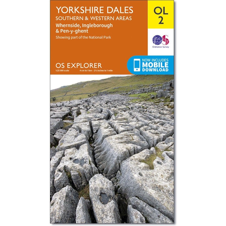
You'll need OS Explorer OL2 (Yorkshire Dales - Southern & Western areas).
The route is well-waymarked in good visibility, but in cloud or darkness you must be able to navigate independently. Don't rely solely on phone GPS - batteries die and signals fail.
Food & Hydration
You'll burn 4,000–5,000 calories. Plan your nutrition:
- Substantial breakfast before you start
- Slow-release snacks (flapjacks, sandwiches, nuts)
- Quick energy for the final push (gels, dried fruit)
- At least 2–3 litres of water
Accommodation
The challenge takes a full day, so most groups stay locally the night before and/or after. Accommodation in the Yorkshire Dales is limited and books up quickly, especially for summer weekends.
Getting There
By Car
Horton-in-Ribblesdale is on the B6479, accessible from the A65 (from the south/west) or A684 (from the east).
Allow plenty of time - Dales roads are slow, and finding parking can take longer than expected.
By Train
Horton-in-Ribblesdale has a station on the Settle–Carlisle line. Services are limited, so check timetables carefully. This is a great option for reducing your group's carbon footprint.
On the Day
Pacing
A rough guide for a 12-hour completion:
- Pen-y-ghent summit: 1.5–2 hours
- Ribblehead (checkpoint): 4–5 hours
- Whernside summit: 6–7 hours
- Hill Inn (checkpoint): 8–9 hours
- Ingleborough summit: 10–11 hours
- Finish: 11–12 hours
Checkpoints
If you have a support vehicle, useful checkpoint locations include:
- Ribblehead - after Whernside descent (parking at the viaduct)
- Hill Inn, Chapel-le-Dale - before Ingleborough
The Hill Inn is a popular refreshment stop for self-organised groups.
Not sure self-organised is right for you?
If you're new to long-distance walking, unfamiliar with navigation, or simply want to focus on the walk rather than logistics, our guided events provide checkpoints with hot food, professional support crew and structured event support from £80 per person.
Yorkshire 3 Peaks Map

Yorkshire Medal
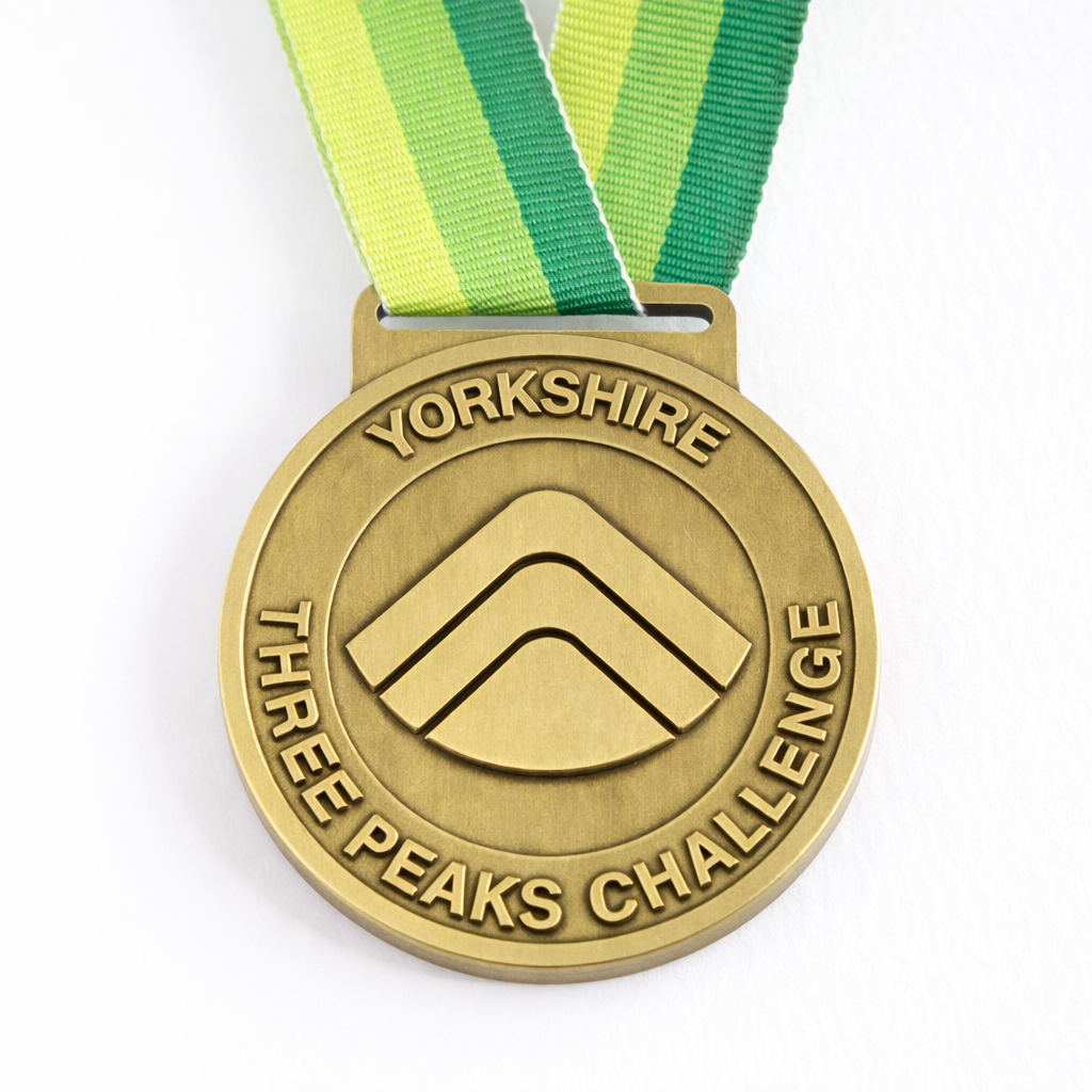

Yorkshire Three Peaks Challenge Medal
Official Yorkshire Three Peaks medal from the Three Peaks Shop.
Buy medal