
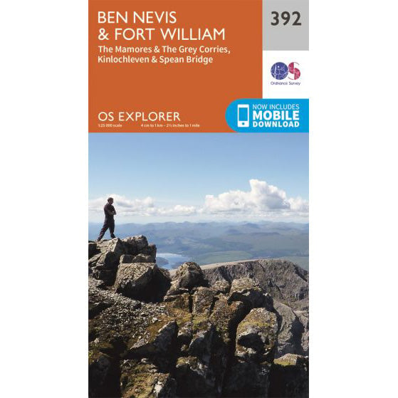

OS Explorer 392 map for Ben Nevis
Map and route reference for Ben Nevis and Fort William.
Ben Nevis has its own microclimate. Summit conditions are often dramatically different from the valley, with cloud, wind and cold temperatures common even in summer. Understanding the weather is essential for a safe ascent.
Standard weather apps and forecasts are designed for populated lowland areas and don't accurately reflect mountain conditions. For Ben Nevis, use specialist mountain forecasts:
These forecasts provide summit-specific information including temperature, wind speed, wind chill, cloud base, visibility and precipitation.
The difference between Fort William and the summit of Ben Nevis can be dramatic:
| Fort William (Sea Level) | Ben Nevis Summit (1,345m) | |
|---|---|---|
| Temperature | 15°C (summer typical) | 5-7°C (10°C colder typical) |
| Wind | Light breeze | Often 30-50 mph, gusts higher |
| Visibility | Clear | Frequently in cloud |
| Precipitation | Dry | May be raining or snowing when valley is dry |
As a rough guide, temperature drops approximately 1°C for every 150 metres of altitude gained. Wind chill can make it feel much colder again.
Ben Nevis in winter is a serious mountaineering environment. The summit is typically snow-covered, and the paths may be icy or buried under snow. Winter conditions can arrive as early as October and persist into May.
Three Peaks Challenges do not run in winter conditions.
A transitional period with highly variable conditions. Snow often persists on the upper mountain until late May, and fresh snow can fall at any time.
Early season Three Peaks Challenges may encounter residual snow. Check forecasts carefully and be prepared for cold conditions.
The most favourable conditions, though Ben Nevis is never a guaranteed fair-weather experience. The summit is in cloud on average 80% of days, even in summer.
This is the main Three Peaks Challenge season. Even in good conditions, take warm and waterproof clothing.
Days shorten rapidly, and weather becomes more unsettled. First snow of the winter may arrive from October onwards.
Late season Three Peaks Challenges should prepare for potentially challenging conditions.
Ben Nevis attracts cloud. The summit is in cloud on approximately 300 days per year - that's over 80% of the time. Even when the valleys are clear, the top may be shrouded in mist.
In poor visibility, navigation on the summit plateau becomes critical. The boulder field offers few landmarks, and the northern cliffs are a serious hazard. See our routes page for navigation advice.
Wind speed increases significantly with altitude, and the summit of Ben Nevis is exposed to weather systems arriving from the Atlantic. Mean wind speeds at the summit are approximately 17 mph, but gusts regularly exceed 50 mph and can reach hurricane force in storms.
High winds make walking difficult and dangerous. If gusts are forecast above 50 mph, consider whether your attempt is sensible. Wind chill can make temperatures feel 10-15°C colder than the actual air temperature.
Fort William is one of the wettest places in Britain, receiving over 2,000mm of rain annually. Ben Nevis itself receives even more. Rain is possible in any month and can arrive quickly even when mornings are clear.
Waterproof jacket and trousers are essential kit, not optional extras.
For Three Peaks Challenge participants climbing Ben Nevis at night:
Pack extra warm layers for night climbs. What feels adequate during a daytime training walk may not be enough at 2am on the summit.
Based on typical conditions, recommended clothing for a summer Three Peaks Challenge includes:
See our kit list for full equipment requirements on guided events.
Map and route reference for Ben Nevis and Fort William.