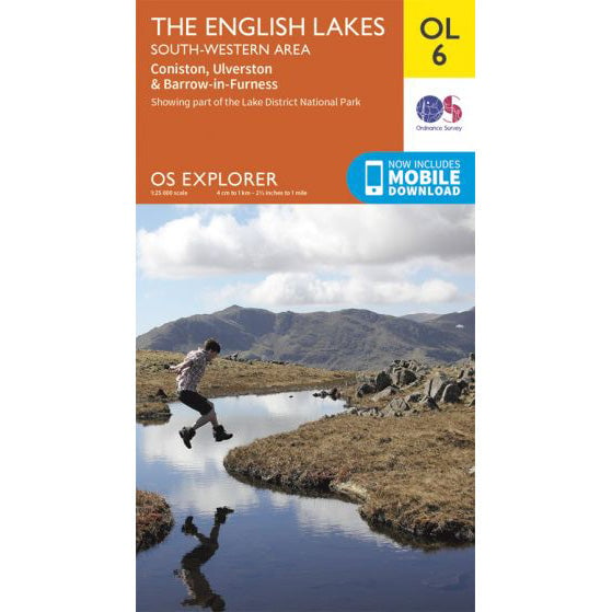

OS Explorer OL6 map for Scafell Pike
Coverage for Scafell Pike and the South Western Lakes.
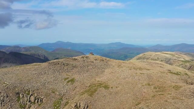
Scafell Pike, in the Lake District National Park, is the tallest mountain in England - it is 978 metres high, the smallest of the National Three Peaks of Great Britain.
Height
978m (3,209ft)
England's highest
Grid Reference
NY 215 072
Ascent Time
2.5 - 4 hours
Round Trip
10km (6 miles)
While Scafell Pike has several paths, most Three Peaks Challengers will begin at Wasdale Head, to the North of Wast Water. Paths on Scafell Pike are marked on the OS Explorer OL 6 map, South Western Lakes (at the Three Peaks Shop).
The postcode for Wasdale Head is CA20 1EX. A detailed map of the parking location is shown below.

The postcode for the Seathwaite route start is CA12 5XJ. There is limited parking along the roadside leading to the farm. More parking options →
Two usual routes are available for walking Scafell Pike, from Wasdale Head and Seathwaite. Longer routes are available from Langdale and Eskdale.
For the Wasdale Head route, park at the Lake Head car park, grid reference NY 182 074. This is to minimise the impact on the local community.
From the National Trust Wasdale Campsite car park, follow the footpath ascending alongside Lingmell Gill, crossing the river after 500 metres and continuing to ascend towards Brown Tongue and Hollow Stones.
The Wasdale Head route is six miles long, up and down, and includes 989 metres of ascent. All routes →

Download the Scafell Pike (Wasdale Head) GPX route for use on GPS devices.
Coverage for Scafell Pike and the South Western Lakes.