
Three Peaks Challenge Ltd logo
Book Contact
Book
Login / Manage
  • Scafell Pike Overview
  • Parking
  • Routes
    • From Wasdale Head
    • From Seathwaite
  • Weather & Conditions
  • Facts & History
  • Accommodation

  • ← National Three Peaks Challenge
  • Ben Nevis
  • Snowdon / Yr Wyddfa
Three Peaks Challenge Ltd logo
Resources Search Photos Manage Your Booking Log in Create an account
Book your challenge
Contact us

Email us directly

[email protected]
Open mail app

Open contact form

National Three Peaks Challenge

Ben Nevis, Scafell Pike, Snowdon

23 miles • 3064m ascent • 3 stages

Routes & Mountains

  • Ben Nevis
  • Scafell Pike
  • Snowdon / Yr Wyddfa
  • Driving route

Prepare

  • Kit list
  • Accommodation
  • Food & drink
  • Travel to Fort William

Information

  • FAQs
  • How hard is it?
  • Plan your own
  • Photos
Guided challenges Book your place 3 Peaks in 3 Days Private groups

Yorkshire Three Peaks Challenge

Ingleborough, Whernside, Pen-y-ghent

24 miles • 1585m ascent • continuous

Routes & Mountains

  • Walking route
  • Pen-y-ghent
  • Whernside
  • Ingleborough

Prepare

  • Kit list
  • Accommodation
  • Food & drink

Information

  • FAQs
  • How hard is it?
  • Plan your own
  • Photos
Guided challenges Book your place Private groups

Surrey Three Peaks Challenge

Box Hill, Holmbury Hill, Leith Hill

23 miles • 1060m ascent • continuous

Routes & Mountains

  • Walking route
  • Box Hill
  • Holmbury Hill
  • Leith Hill

Prepare

  • Kit list
  • Accommodation
  • Food & drink

Information

  • FAQs
  • How hard is it?
  • Plan your own
  • Photos
Guided challenges Book your place Private groups

Welsh Three Peaks Challenge

Snowdon, Cadair Idris, Pen y Fan

17 miles • 2334m ascent • 3 stages

Routes & Mountains

  • Snowdon / Yr Wyddfa
  • Cadair Idris
  • Pen y Fan
  • Driving route

Prepare

  • Kit list
  • Accommodation
  • Food & drink

Information

  • FAQs
  • How hard is it?
  • Plan your own
  • Photos
Guided challenges Book your place Private groups
Private events Fundraising events Charities Companies & Corporates Training guides Routes Photos Resources & policies Other challenges Shop
View all dates

Scafell Pike from Wasdale Head

Wasdale Head is the main starting point for Scafell Pike and the route used by Three Peaks Challenge groups. Starting from the Lake Head car park, the route ascends via Lingmell Gill and Hollow Stones to England's highest summit at 978 metres.

Route Summary

Distance 6 miles (10km) round trip
Ascent 989 metres (3,245 feet)
Typical Time 4-6 hours round trip
Difficulty Strenuous, rocky terrain
Start Point Lake Head car park, Wasdale Head (CA20 1EX)
Grid Reference NY 182 074

Route Map

Elevation profile of the Scafell Pike route from Wasdale Head

Loading elevation profile…
Elevation profile for the Scafell Pike Hollow Stones route.

Route Description

From the Lake Head car park at Wasdale Head, follow the footpath ascending alongside Lingmell Gill. After approximately 500 metres, the path crosses the river via stepping stones and continues to ascend on the eastern bank.

The route climbs steadily up Brown Tongue, a broad grassy ridge between Lingmell Gill and Piers Gill. The gradient is consistent but unrelenting. As height is gained, views open up behind you across Wast Water and to the coast.

At Hollow Stones, the terrain becomes more rugged. Large boulders mark the upper section of the route. The path here is less distinct but cairned. Continue ascending through the boulder field towards the summit plateau.

The final section crosses the summit plateau, a broad area of rocks and boulders. In poor visibility, navigation here requires care. The summit is marked by a large stone cairn at 978 metres - the highest point in England.

Key Waypoints

  1. Lake Head car park (75m altitude) - Start from the car park, follow signs for Scafell Pike
  2. Lingmell Gill crossing (150m) - Cross the river via stepping stones
  3. Brown Tongue (200-600m) - Steady ascent on grassy ridge
  4. Hollow Stones (600-750m) - Boulder field, path becomes rougher
  5. Upper scree and rocks (750-950m) - Steep, rocky terrain, follow cairns
  6. Summit plateau (950-978m) - Broad boulder field, navigation required in mist
  7. Summit cairn (978m) - England's highest point

Navigation Notes

The route is generally well-cairned but the upper sections can be confusing, particularly in darkness or mist. Many Three Peaks groups climb Scafell Pike at night, making head torches, compass and map essential.

On the descent, take care not to follow paths leading towards Mickledore (the col between Scafell Pike and Scafell) or towards Lingmell. Both are easy mistakes in poor visibility. Keep to the cairned path heading north-west towards Hollow Stones and Brown Tongue.

Download GPX Route

Download GPX Route

Use this GPX file with your GPS device or smartphone navigation app. The route shows both the ascent and descent via the same path from Wasdale Head.

Parking

The Lake Head car park at Wasdale Head has limited spaces and operates on an honesty box system. The postcode is CA20 1EX, grid reference NY 182 074. The car park can fill quickly, particularly on summer weekends.

Full parking information →

Scafell Pike maps

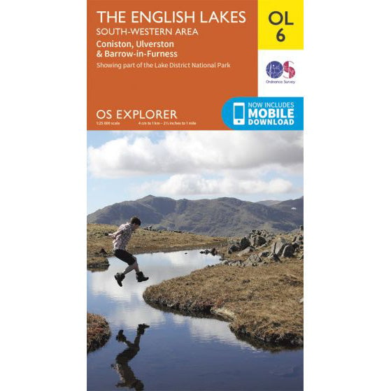
OS Explorer OL6 map for Scafell Pike
Choose format

OS Explorer OL6 map for Scafell Pike

Coverage for Scafell Pike and the South Western Lakes.

19 in stock £9
Buy standard map
17 in stock £13
Buy waterproof map
  • Scafell Pike Overview
  • Parking
  • Routes
    • From Wasdale Head
    • From Seathwaite
  • Weather & Conditions
  • Facts & History
  • Accommodation

  • ← National Three Peaks Challenge
  • Ben Nevis
  • Snowdon / Yr Wyddfa
We are Three Peaks Challenge
16 years experience
56,000+ participants
In-house transport & logistics
£2.3m+ raised for charity

Events

  • Upcoming dates & prices
  • National Three Peaks
  • Yorkshire Three Peaks
  • Welsh Three Peaks
  • Surrey Three Peaks
  • Private group bookings

Training

  • Training overview
  • Which Three Peaks to do?
  • 8-week training plan
  • 12-week training plan
  • Pace calculator
  • Training hikes by region

Fundraising

  • Charity challenges
  • Fundraising for a charity
  • Set a fundraising target
  • Team fundraising ideas
  • Gift Aid explained
  • Corporate matching

Charities

  • Charities hub
  • Private charity events
  • Pricing & sponsorship
  • Promotion toolkit
  • Charities FAQs
  • Charity partners

Companies

  • Company events
  • SME teams (8-30)
  • Large teams (50-200)
  • Team building
  • Private events explained
  • Company fundraising plan

Support

  • Contact
  • Manage your booking
  • Resources
  • Routes & GPX
  • Kit lists
  • Three Peaks shop
National Three Peaks
Yorkshire Three Peaks
Welsh Three Peaks
Surrey Three Peaks

What do you think of this page?

Three Peaks Challenge Ltd logo

© 2026 Three Peaks Challenge Ltd.

Company incorporated in England & Wales in 2009. Company number: 06993751 VAT registration: GB998704845.
Registered office: Trade Fair House 2 West Court, Enterprise Road, Maidstone, Kent, England, ME15 6JD.
The Three Peaks Challenge Logo is a registered trademark of Three Peaks Challenge Ltd.
Contact us - Recruitment - Pricing - Developers & API - Agentic commerce