
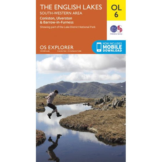

OS Explorer OL6 map for Scafell Pike
Coverage for Scafell Pike and the South Western Lakes.
Scafell Pike is the highest mountain in England at 978 metres (3,209 feet). Located in the Lake District National Park in Cumbria, it is one of the three mountains of the National Three Peaks Challenge.
| Height | 978 metres (3,209 feet) |
|---|---|
| Prominence | 912 metres |
| Location | Lake District National Park, Cumbria |
| Grid Reference | NY 215 072 |
| Coordinates | 54.4542°N, 3.2117°W |
| OS Map | Explorer OL6 (The English Lakes - South Western area) |
| National Park | Lake District (UNESCO World Heritage Site) |
The name "Scafell Pike" distinguishes it from the neighbouring peak of Scafell (964m), which is separated by the col of Mickledore. The name comes from the Old Norse "Skafl-fell", meaning "fell with a summit" or possibly "bald fell". "Pike" is a northern English term for a pointed peak or summit.
Scafell Pike was not always recognised as the highest point. Before accurate surveying, nearby Scafell was believed to be taller. It was only with the Ordnance Survey that Scafell Pike was confirmed as the higher peak.
Scafell Pike (978m) and Scafell (964m) are separate mountains divided by the Mickledore col. Despite the 14-metre height difference, Scafell has steeper and more dramatic cliffs, including Broad Stand - a Grade 3 scramble that has caught out many walkers attempting to traverse between the two summits. There is no safe walking route between them; the standard route goes via Foxes Tarn or returns to Hollow Stones.
Scafell Pike is formed from the Borrowdale Volcanic Group - rocks laid down approximately 450 million years ago during the Ordovician period. These are volcanic rocks (primarily andesitic tuffs and lavas) that formed from explosive volcanic eruptions.
The mountain's rugged character comes from these hard volcanic rocks, which resist erosion and create the distinctive boulder-strewn summit plateau and craggy flanks. The glacial action of the last Ice Age carved the deep valleys and corries that surround the mountain.
In 1919, Lord Leconfield gifted Scafell Pike and surrounding land to the National Trust as a war memorial, dedicated to the memory of those who fell in the First World War. A memorial plaque at the summit records this gift.
Scafell Pike has been part of the National Three Peaks Challenge since the challenge emerged in the mid-20th century. As the second peak on most itineraries - between Ben Nevis and Snowdon - it is often climbed at night.
Scafell Pike features in several fell running events, including the Bob Graham Round - a circuit of 42 Lake District peaks within 24 hours that includes Scafell Pike as one of the key summits.
As the middle peak, Scafell Pike is often the most challenging part of a Three Peaks attempt - not because of its height (it is the shortest of the three), but because groups typically arrive tired from Ben Nevis and face the ascent in darkness.
The upper slopes support typical montane habitats including:
Scafell Pike is owned by the National Trust and lies within the Lake District National Park, a UNESCO World Heritage Site. Path erosion from the large number of visitors (particularly Three Peaks Challengers) is an ongoing concern. Significant path repair work has been carried out on the main routes.
Visitors are encouraged to follow the Countryside Code, stick to established paths, and take all litter away.
| Mountain | Height | Country | Ascent (from standard start) |
|---|---|---|---|
| Ben Nevis | 1,345m | Scotland | 1,352m |
| Scafell Pike | 978m | England | 989m |
| Snowdon | 1,085m | Wales | 723m (from Pen-y-Pass) |
Despite being the shortest of the three peaks, Scafell Pike has nearly as much ascent as Ben Nevis when starting from Wasdale Head, as the car park is close to sea level. The rocky terrain and often poor visibility make it a serious mountain.
Coverage for Scafell Pike and the South Western Lakes.