
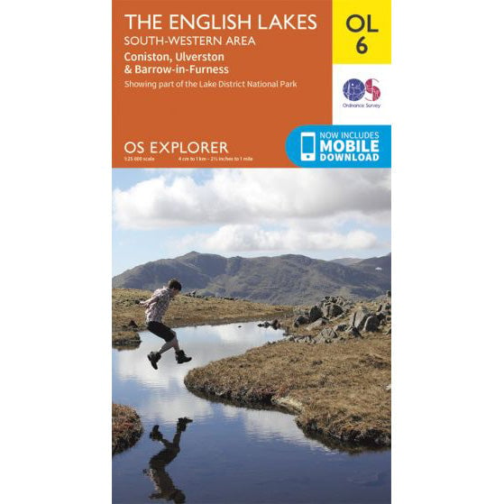

OS Explorer OL6 map for Scafell Pike
Coverage for Scafell Pike and the South Western Lakes.
Seathwaite Farm in Borrowdale is the starting point for the Corridor Route to Scafell Pike. This longer approach from the north passes Stockley Bridge and Styhead Tarn before traversing beneath Great Gable and Lingmell to reach England's highest summit at 978 metres.
| Distance | 9 miles (14.5km) round trip |
|---|---|
| Ascent | 900 metres (2,953 feet) |
| Typical Time | 6-8 hours round trip |
| Difficulty | Strenuous, long route with exposed sections |
| Start Point | Seathwaite Farm, Borrowdale (CA12 5XJ) |
| Grid Reference | NY 235 122 |

From Seathwaite Farm, follow the broad track south along the valley floor. The path is well-maintained and level for the first section, passing through farmland before reaching Stockley Bridge, a stone packhorse bridge crossing Grains Gill.
After Stockley Bridge, the route climbs steeply up Styhead Gill. The gradient is demanding but the path is clear, with views opening up behind you across Borrowdale. The climb eases as you reach Styhead Tarn, which sits in a broad col between Great Gable to the west and Seathwaite Fell to the east.
From Styhead Tarn, the Corridor Route branches south-west, traversing beneath the crags of Great Gable and Lingmell. The path is narrow in places and crosses several gills including Skew Gill. Take particular care near Piers Gill, a deep ravine to the south of the path that has claimed lives in poor visibility.
The Corridor Route eventually joins the Wasdale Head path near Hollow Stones. From here, the final ascent follows the same boulder-strewn route through the upper scree to the summit plateau. The summit is marked by a large stone cairn at 978 metres - the highest point in England.
The Corridor Route requires careful navigation, particularly in mist. The path is narrow and traverses steep ground with significant drops. Piers Gill is a deep ravine immediately south of the path - in poor visibility it is essential to stay on the main path and not deviate downhill. Several walkers have been killed in falls into Piers Gill.
An alternative to the Corridor Route is to continue south from Styhead Tarn to Esk Hause, then turn west to the summit. This avoids the exposed Corridor Route sections but adds distance and ascent. The Esk Hause route is better waymarked but longer.
Use this GPX file with your GPS device or smartphone navigation app. The route shows the ascent from Seathwaite Farm via the Corridor Route.
Seathwaite has very limited roadside parking along the narrow lane leading to the farm. There is no formal car park and the road is single-track. The postcode is CA12 5XJ, grid reference NY 235 122. Arrive early, particularly on summer weekends, as spaces fill quickly.
Coverage for Scafell Pike and the South Western Lakes.