
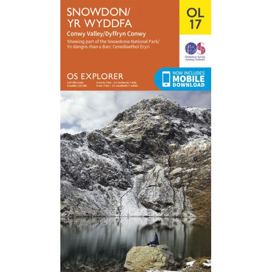

OS Explorer OL17 map for Snowdon
Route support for Snowdon and surrounding paths.
Yr Wyddfa has six main walking paths to the summit, plus the Crib Goch horseshoe for experienced scramblers. For the National Three Peaks Challenge, keep the route choice simple: the Pyg Track for ascent, or the Llanberis Path if you need the most straightforward descent.
The cards below cover the main options people ask about most. Underneath them you can see all of the summit lines together on one OS map, with a linked legend so it is easy to tell which route is which.
| Distance | 11km return |
|---|---|
| Ascent | 895m |
| Time | About 6 hours |
The usual National Three Peaks ascent. Shorter than Llanberis, but rougher and steeper underfoot.
View route details| Distance | 14.5km return |
|---|---|
| Ascent | 975m |
| Time | About 7 hours |
The longest but most gradual main path. Common for descent when support meets groups in Llanberis.
View route details| Distance | 13km return |
|---|---|
| Ascent | 723m |
| Time | About 6 hours |
A gentler start past the lakes from Pen-y-Pass, followed by a sharp final pull to the summit ridge.
View route details| Distance | 13km return |
|---|---|
| Ascent | 1,015m |
| Time | About 6 hours |
A beautiful southern approach with a hard finish. The upper section is loose, steep and slower than it looks on paper.
View route details| Distance | 13km return |
|---|---|
| Ascent | 936m |
| Time | About 6 hours |
A quieter western line with steady climbing and a more open feel than the Pen-y-Pass routes.
View route details| Distance | 12km return |
|---|---|
| Ascent | About 895m |
| Time | About 6 hours |
Another quieter line, with a narrow exposed feel on the upper ridge but less traffic than the classic northern paths.
View route details| Distance | 12.3km circuit |
|---|---|
| Ascent | 1,260m |
| Time | Allow a full day |
A serious scrambling horseshoe over Crib Goch, Garnedd Ugain, Yr Wyddfa and Y Lliwedd. This is not a Three Peaks route.
View route detailsThis map overlays the main paths people use to reach the summit. The legend links through to the dedicated route pages, so you can compare the usual Three Peaks lines against the quieter western and southern approaches.
Crib Goch is not a walking path. It is a grade 1 scramble on a narrow ridge, with real exposure and no quick way off once you are committed. In winter it becomes a much more serious mountaineering problem, and even in dry summer conditions it is the wrong choice for a timed Three Peaks round.
If your aim is to complete the National Three Peaks Challenge, leave Crib Goch for another day and use one of the main summit paths instead.
For most self-organised teams, the Pyg Track gives the best balance of distance and time. It starts high at Pen-y-Pass and gets you onto the mountain quickly. The trade-off is that it is rough, rocky and a little awkward near the top, so it still demands care when people are tired.
Llanberis is the safer call if you want the clearest line underfoot or if transport is meeting you in the village. It is longer and gains more height, but the path is obvious, the gradient is steadier and descent tends to be less fiddly in poor visibility.
Miners, Watkin, Snowdon Ranger and Rhyd Ddu all make good mountain days in their own right. They are just less practical in the context of a 24-hour driving and walking challenge, where route-finding, turnaround time and transport logistics matter as much as scenery.
Route lengths and ascent figures on this page are based on the current Eryri route guides for the six main walking paths, plus a recorded StravaGPX trace for the Crib Goch horseshoe.
Route support for Snowdon and surrounding paths.