
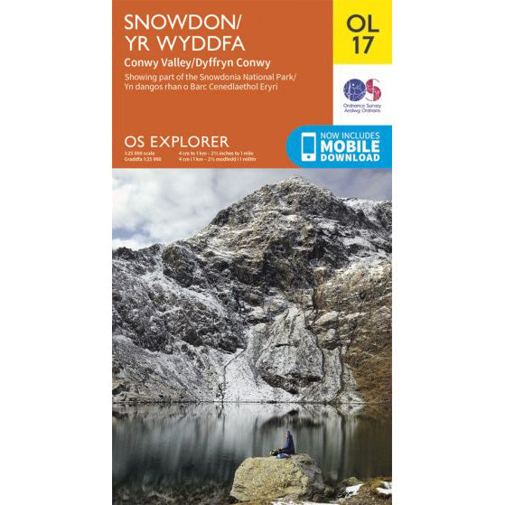

OS Explorer OL17 map for Snowdon
Route support for Snowdon and surrounding paths.
Crib Goch is a scrambling line, not a normal walking path. It is especially severe in winter, when snow, ice and cornices can turn the ridge into a mountaineering outing. Even in summer, it is not suitable for the National Three Peaks Challenge.
The mapped line on this page follows the classic Snowdon Horseshoe from Pen-y-Pass over Crib Goch, Garnedd Ugain, Yr Wyddfa and Y Lliwedd. It is one of the great mountain rounds in Wales, but it belongs in a separate category from the main summit paths.
| Distance | 12.3km circuit |
|---|---|
| Total ascent | 1,260 metres |
| Start point | Pen-y-Pass car park |
| GPX source | Recorded StravaGPX trace from the Snowdon Horseshoe route on FKT |
The route leaves Pen-y-Pass, climbs onto Crib Goch and then commits you to exposed scrambling on a narrow ridge. There is no easy shortcut once you are on it. That is why the usual advice is blunt: only experienced scramblers should be there, and only in suitable conditions.
From Crib Goch the line continues over Garnedd Ugain to Yr Wyddfa, then closes the horseshoe by crossing Y Lliwedd before dropping back to Pen-y-Pass. It is a big mountain circuit, not a quick variation on the Pyg Track.
If your goal is the National Three Peaks Challenge, there is no upside here. The ridge is slower, more committing and far more serious than any team should be taking on in a timed 24-hour round.
This download is included because the source file is a recorded StravaGPX trace rather than a hand-drawn estimate.
Read the park authority's warning on the Eryri Pyg Track page before considering Crib Goch. For the route source itself, see the FKT Snowdon Horseshoe route page.
Route support for Snowdon and surrounding paths.