
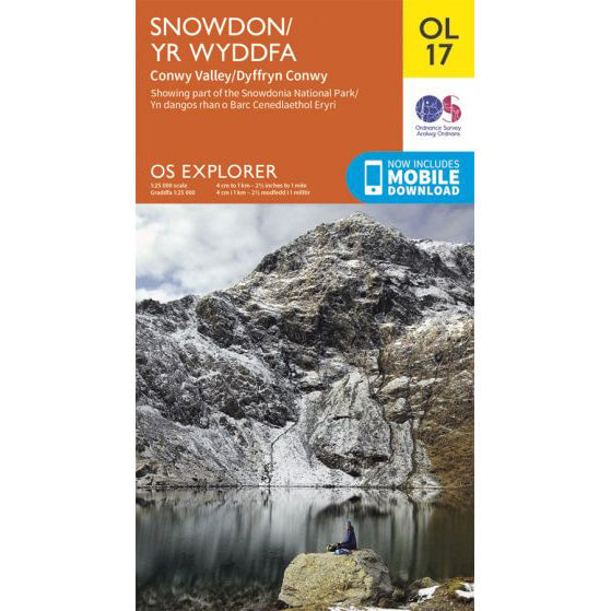

OS Explorer OL17 map for Snowdon
Route support for Snowdon and surrounding paths.
The Snowdon Ranger route approaches Yr Wyddfa from the west and feels quieter from the first few minutes. It is a good line for walkers who want a more measured mountain day without the crowds that build around Pen-y-Pass.
| Distance | 13km return |
|---|---|
| Ascent | 936 metres |
| Typical time | About 6 hours |
| Start point | Snowdon Ranger youth hostel area, west side of the mountain |
This is one of the oldest established lines on the mountain and it feels direct without being rushed. The early climbing is steady, the path is generally clear, and the western outlook gives it a different character from the busier northern side.
Higher up the slope opens out and the route joins the broad summit plateau from the west. That makes the finish more straightforward than the Watkin Path, though you still need proper navigation if cloud is down.
It is a strong option for a normal mountain day, but not a natural Three Peaks choice. The road approach, parking logistics and extra drive-time make it less practical than the Pen-y-Pass routes when every minute matters.
If your priority is a quieter climb rather than a timed challenge, the Snowdon Ranger often lands in a sensible middle ground: less busy than Pyg or Llanberis, but without the sting of the Watkin finish.
For the park authority's current route guide and downloadable files, use the Eryri Snowdon Ranger page.
Route support for Snowdon and surrounding paths.