
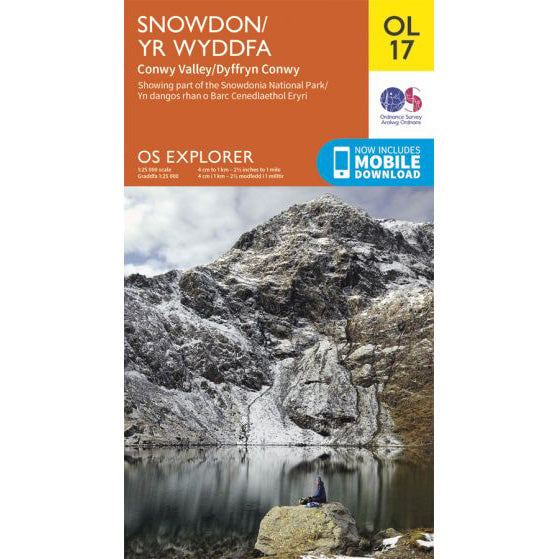

OS Explorer OL17 map for Snowdon
Route support for Snowdon and surrounding paths.
The Llanberis Path is the longest but most gradual route up Snowdon, following the line of the Snowdon Mountain Railway from the town of Llanberis. It is often used as a descent route on guided Three Peaks Challenge events, with transport meeting groups in Llanberis.
| Distance | 9 miles (14.5km) round trip |
|---|---|
| Ascent | 948 metres (3,110 feet) |
| Typical Time | 5-7 hours round trip |
| Difficulty | Moderate, well-made path throughout |
| Start Point | Victoria Terrace, Llanberis (LL55 4TF) |
| Grid Reference | SH 582 598 |

The Llanberis Path begins from Victoria Terrace in the town of Llanberis, near the Snowdon Mountain Railway station. The path follows the railway line for much of its length, making navigation straightforward in most conditions.
The initial section climbs through farmland before reaching the open hillside. The gradient is consistent and moderate throughout - the path was designed to service the railway and maintains a steady incline.
Halfway up, the path passes the Halfway House (Hebog station on the railway) at approximately 500 metres altitude. This marks a natural rest point with views across Llanberis and Llyn Padarn.
Above the Halfway House, the path continues alongside the railway, crossing a number of small streams. The terrain becomes more exposed as you gain altitude, and the views expand to include the Menai Strait and Anglesey.
The final section passes Clogwyn station before the last steep push to the summit. The path arrives at the summit near the Hafod Eryri building and the summit trig point at 1,085 metres.
The Llanberis Path is the most straightforward route on Snowdon in terms of navigation. The railway line provides a constant reference, and the path is clear and well-maintained throughout.
In poor visibility, keep the railway to your right on the ascent. The path crosses the railway at two points - both are clearly marked. The summit area is shared with all other routes, so care is needed near the northern cliffs in cloud.
On Guided Three Peaks Challenge events, the Llanberis Path is often used as the descent route. Groups ascend via the Pyg Track from Pen-y-Pass and descend the Llanberis Path to the town, where the support vehicle is waiting. This avoids the need to return to the Pen-y-Pass car park and saves time on the final peak of the challenge.
Use this GPX file with your GPS device or smartphone navigation app. The route shows the path from Llanberis to the summit and back.
Parking in Llanberis is available at several car parks in the town centre. For groups ascending via Pen-y-Pass and descending the Llanberis Path, a vehicle will need to meet you in Llanberis.
Route support for Snowdon and surrounding paths.