
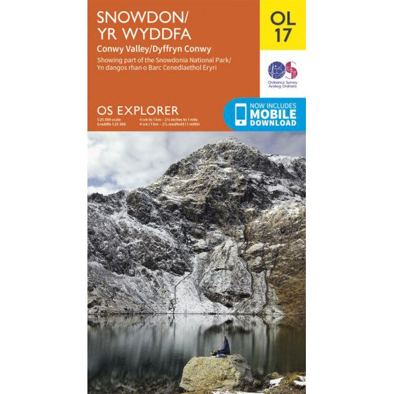

OS Explorer OL17 map for Snowdon
Route support for Snowdon and surrounding paths.
The Rhyd Ddu Path is one of the quieter ways onto Yr Wyddfa and one of the most attractive if you want a less crowded mountain day. It rises from the south-west and feels calmer than the northern side almost all the way up.
| Distance | 12km return |
|---|---|
| Ascent | About 895 metres |
| Typical time | About 6 hours |
| Start point | Rhyd Ddu village |
The lower path is plain to follow and gives a good sense of space quickly. It feels more remote than the Pen-y-Pass routes, even though the summit is still busy once you join the main top.
The upper ridge section is where the character changes. It is not in the same league as Crib Goch, but it does feel narrower and more exposed than Llanberis or the Snowdon Ranger. In wind, ice or poor visibility it needs respect.
As a Three Peaks route it is usually more trouble than it is worth. As a quieter day walk, though, it is one of the better alternatives if you want a marked path that still feels like a mountain route.
Rhyd Ddu often appeals to walkers who want to avoid the crowds without taking on the steepest ground. Just do not mistake "quieter" for "easy" once you reach the upper ridge.
For the park authority's current route guide and downloadable files, use the Eryri Rhyd Ddu Path page.
Route support for Snowdon and surrounding paths.