
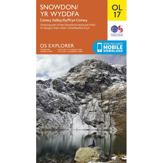

OS Explorer OL17 map for Snowdon
Route support for Snowdon and surrounding paths.
The Miners Track is often the route people look at after the Pyg Track because it starts from the same Pen-y-Pass car park. It gives you an easier opening mile beside the lakes, then saves its hardest climbing for the upper mountain.
| Distance | 13km return |
|---|---|
| Ascent | 723 metres |
| Typical time | About 6 hours |
| Start point | Pen-y-Pass car park, SH 647 557 |
The lower half is straightforward. You leave Pen-y-Pass on a broad path and pass Llyn Teyrn, Llyn Llydaw and Glaslyn with the big bulk of Yr Wyddfa ahead of you. That opening section feels friendlier than the Pyg Track and is often a better choice for walkers who dislike steep rocky traverses early in the day.
The catch comes above Glaslyn. The path turns sharply uphill, the surface becomes loose and stony, and progress slows. Near the top it merges with the Pyg Track for the final push to Bwlch Glas and the summit.
For a National Three Peaks team, the Miners Track usually makes less sense than the Pyg Track. It is not much longer overall, but the steep upper haul can be draining when people are already carrying fatigue from Ben Nevis and Scafell Pike.
If conditions are poor, remember that the easy lakeside opening can give a false sense of security. The hard work still sits above Glaslyn, where the line steepens and route-finding becomes more important in mist.
For the park authority's current route guide and downloadable files, use the Eryri Miners Track page.
Route support for Snowdon and surrounding paths.