
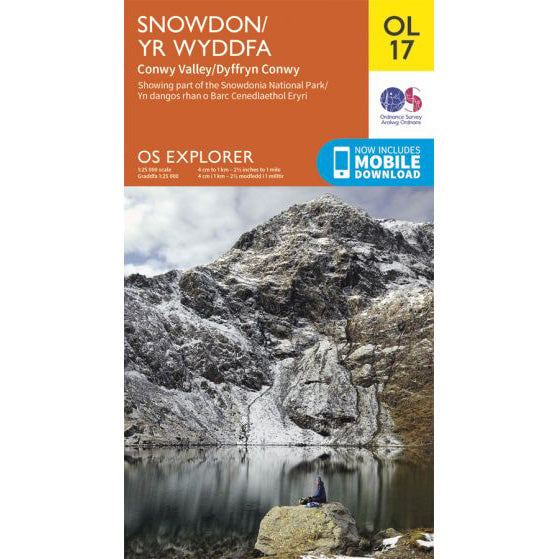

OS Explorer OL17 map for Snowdon
Route support for Snowdon and surrounding paths.
The Watkin Path is one of the most rewarding ways up Yr Wyddfa, but it is also the toughest of the main marked paths. It starts low in Nant Gwynant, gains a lot of height, and finishes with a steep loose climb that feels every bit as hard as it sounds.
| Distance | 13km return |
|---|---|
| Ascent | 1,015 metres |
| Typical time | About 6 hours |
| Start point | Pont Bethania, Nant Gwynant |
The first part is deceptively civilised, with old pathwork and broad views back down the valley. It is easy to see why walkers are tempted by it. Higher up, though, the line narrows, steepens and becomes much slower.
The upper section below Bwlch Saethau is the part that catches people out. It is rough, loose and more awkward than the headline distance suggests. In bad weather or on tired legs, it is not a quick way to the summit.
For that reason alone, the Watkin Path is rarely the right call for the National Three Peaks Challenge. It works far better as a stand-alone mountain day when you can give it the time and concentration it deserves.
If you are choosing between the quieter routes, the Watkin Path is the most serious physically. It is scenic, but it is not the easy alternative some walkers hope it will be.
For the park authority's current route guide and downloadable files, use the Eryri Watkin Path page.
Route support for Snowdon and surrounding paths.